
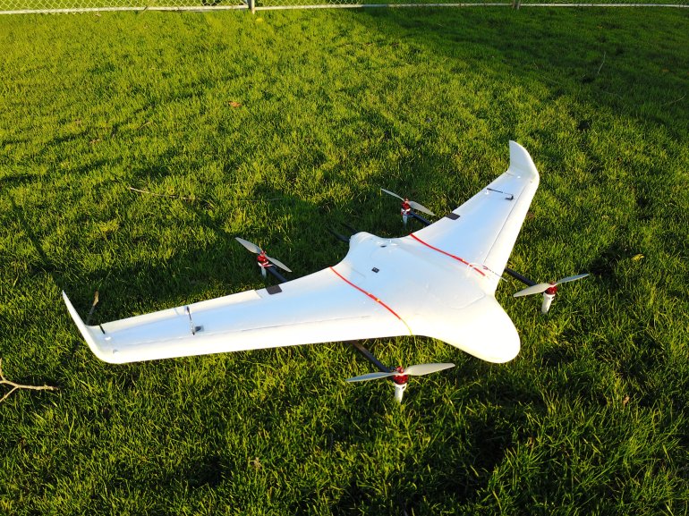
Rugged terrain? We specialize in custom 2D & 3D mapping, as well as aerial videography and aerial photography. Our custom 2D & 3D mapping is done to your specifications. We have a proven method for quickly mapping large areas. Our experience makes it easier for you to get things done.
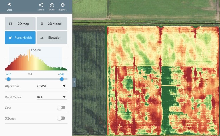
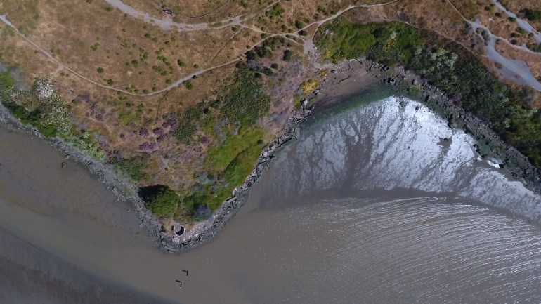
Almost any size area can be mapped, acres of land can easily be photographed as an photomosaic image. You can expect to see even small items on the ground with good detail, such as a pack of cigarettes. We use geotagging in our 2D, and 3D orthomosaic images so you can quickly locate things. Undulating topography and rugged terrain are not a barrier. Topograpic mapping and vegetation density mapping are easily accomplished. These images can easily be downloaded and imported into google earth. They can also be viewed on a smartphone, tablet or other devices and shared anywhere via the web.
Please feel free to look through my portfolio and contact me here.


© Aerial Perfectionist. Greater Bay Area Aerial Photography & Videography.
